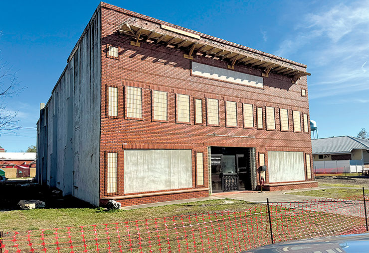
Structural roof and stabilization work is underway at the historic Priest Theatre in downtown High Springs. The City of High Springs has undertaken repairs to address long-standing deterioration at the 1910-era landmark. / Alachua County Today Staff Photographer
HIGH SPRINGS – Visible signs of structural work are now evident at the historic Priest Theatre, marking progress in the city’s effort to stabilize one of downtown High Springs’ most prominent landmarks.
The 1910-era building, located along Northwest 237th Street, has remained in severely blighted condition for years, drawing concern from residents and city officials. In 2023, the Florida Legislature approved a $1,040,450 appropriation to the City of High Springs to purchase, renovate and restore the structure for public use.
Following acquisition of the building, the High Springs City Commission in August 2024 authorized structural mitigation work to stabilize the deteriorating structure. The scope of work included securing the existing perimeter, removing and replacing the compromised roof and addressing structural deficiencies in the steel frame.
In September 2025, the city awarded Hoffman Construction Inc. a contract totaling $550,828 for roof replacement and structural upgrades. The commission also approved an additional $18,280 for replacement of the parapet wood apron on the building’s front elevation.
In December 2025, commissioners authorized a services agreement with Hoffman Construction for continued structural roof repairs.
The ongoing work is intended to halt further deterioration and preserve the integrity of the building while longer-term plans are evaluated.
Originally constructed in the early 20th century, the Priest Theatre once served as a centerpiece of downtown High Springs. Over time, however, deferred maintenance and structural decline left the building in significant disrepair.
City officials have stated that the current repairs are focused on stabilization rather than full restoration.
Most recently, the City Commission has discussed plans to sell the building once necessary structural repairs are completed. While no final decision has been announced regarding the building’s long-term use, officials have indicated that completing the mitigation work is a prerequisite to any transfer of ownership.
City leaders have emphasized that protecting the structural integrity of the building is critical to preventing further decline and preserving redevelopment opportunities.
As work continues, residents and downtown business owners are watching closely to see what the next chapter will hold for the long-vacant theater.
# # #
email editor@
alachuatoday.com
Add a comment


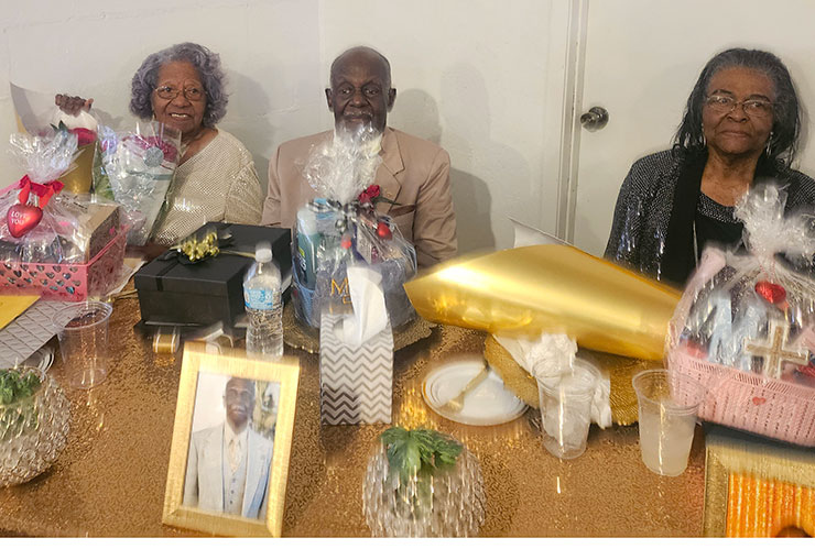
 The event drew a large turnout, reflecting what organizers described as the deep respect and appreciation the community holds for its senior leaders.